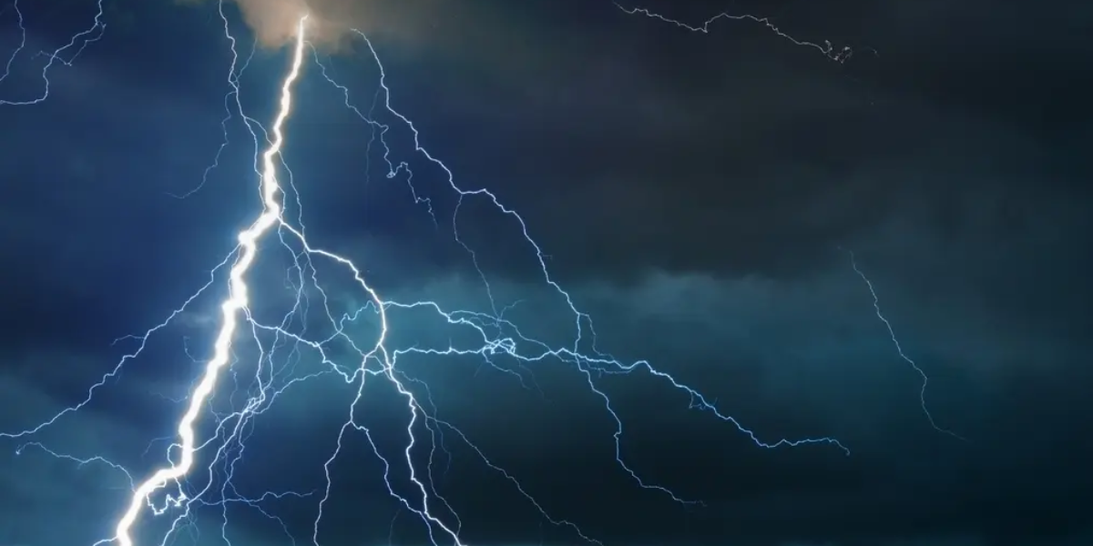
Severe storms are tearing across America this week — and millions of residents from the Northwest to the Great Plains are directly in the path.
Dangerous thunderstorms are hammering parts of the Northwest through Thursday night, with central Oregon, eastern Washington, northwestern Idaho and western Montana facing the worst of it. Wind gusts up to 75 mph and damaging hail are the biggest threats — powerful enough to destroy crops, shatter car windows and knock out power.
Even more dangerous: lightning strikes in dry areas could spark new wildfires where little to no rain falls.
Friday brings the storm into Texas, Oklahoma and Kansas
Come Friday, the severe weather bullseye shifts east — directly into the Great Plains. Residents in western Texas, western Oklahoma, southeastern Colorado and southwestern Kansas should prepare for a rough afternoon and night.
The same deadly combination — large hail and 75 mph wind gusts — will target these communities Friday into Saturday.
Saturday: 1,300-Mile Storm Corridor from Texas to the Dakotas
Saturday’s threat zone stretches an enormous 1,300 miles — from the Big Bend region of Texas all the way north through Nebraska, South Dakota and into eastern Montana. The most intense activity is expected to concentrate over Nebraska and South Dakota.
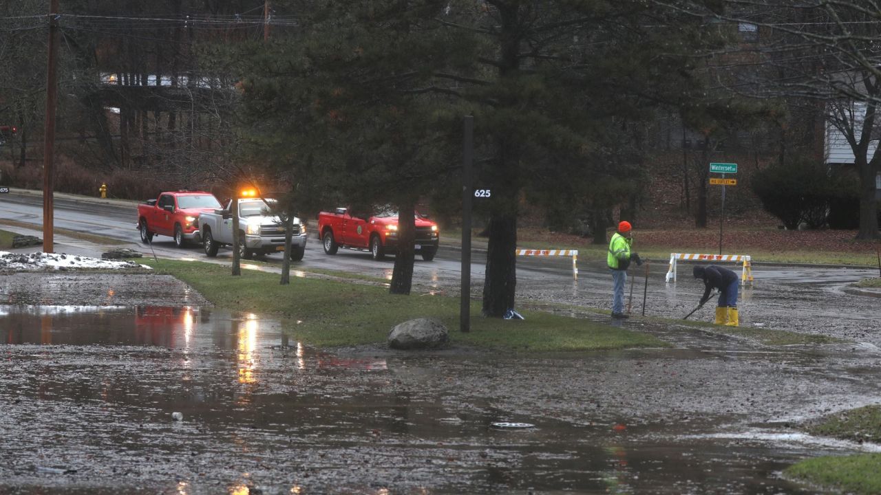
Near the Gulf Coast, scattered storms could bring flash flooding to low-lying areas this weekend.
One Silver Lining
Rain across the High Plains and northern Rockies will offer some drought relief — a welcome sight after a dry winter. Higher elevations in Montana may see snow, which could temporarily ease wildfire danger across the region.
Stay weather-aware this weekend. Monitor local alerts and avoid travel during peak storm hours if you are in any of these states.