Just days after the Plains were battered by a brutal round of severe weather, another powerful storm system is locking its sights on the Upper Midwest — and this time, it isn’t coming alone. A multi-day severe weather outbreak is taking shape across the region, and forecasters say tens of millions of Americans are directly in its path.
The threat doesn’t just last one day. It lasts three. Tuesday through Thursday, a dangerous and fast-moving system will unleash large hail, destructive winds, and tornadoes across a stretch of America that includes some of the country’s most populated cities.
TUESDAY — North Dakota First in Line
A massive dip in the jet stream is already forming off the West Coast, pushing a surface low northward and dragging dangerous instability with it. Dew points in the 50s and low 60s, combined with intense daytime heating, will create the perfect recipe for explosive storm development.
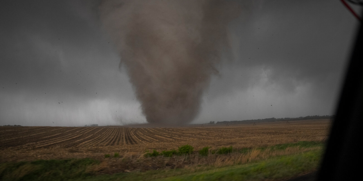
A Level 3 out of 5 severe weather risk is in place across North Dakota, where the biggest threats will be large hail and tornadoes through Tuesday afternoon and evening. Overnight, the danger shifts — damaging winds will become the primary threat as storms push into the Red River Valley.
WEDNESDAY — Minneapolis Dead in the Bullseye
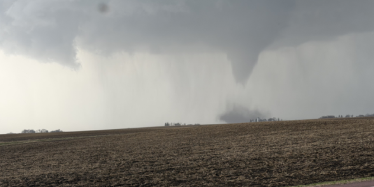
This is the day forecasters are most worried about. As the storm system charges eastward, Minneapolis is being singled out as ground zero for what the Storm Prediction Center is calling a “potentially significant severe weather event.”
A Level 3 out of 5 risk covers Minnesota, Wisconsin, and Iowa. Conditions will be ripe for supercells — the most dangerous type of thunderstorm — capable of producing tornadoes, massive hail, and wind gusts strong enough to rip roofs apart. Wednesday afternoon and evening are the most critical window.
THURSDAY — Chicago, St. Louis, Milwaukee Under Threat
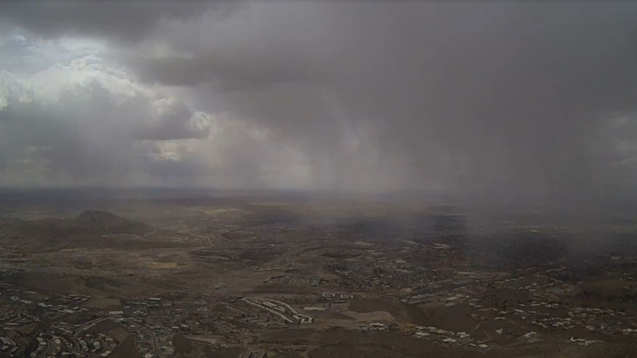
By Thursday, the cold front marches into the broader Midwest. More than 38 million Americans face a Level 2 out of 5 severe weather risk, including major metro areas like Chicago, St. Louis, and Milwaukee. All severe weather hazards remain on the table — tornadoes, hail, and damaging winds — as storms fire along the advancing front.
Flash flooding is also a real concern. Widespread rainfall of 1 to 2 inches is expected across Minnesota, Wisconsin, Iowa, and Illinois — with isolated spots potentially seeing 2 to 3 inches where storms stall or repeatedly track over the same area.
What You Need to Do Right Now: If you live anywhere from the Dakotas to Illinois, do not wait for the storm to arrive. Charge your devices. Know your nearest shelter. Have a weather alert app on your phone with notifications turned on. These storms can escalate from “watch” to life-threatening in minutes.
The Plains barely had time to recover. Now the Midwest is next. Forecasters are watching this system closely — and so should every single person in its path.