
ATLANTA, Georgia — If it feels like the rain has been relentless this week, that’s because it has been.
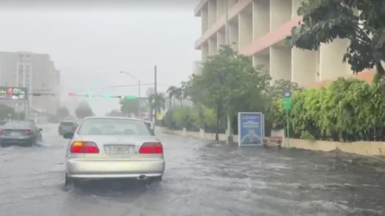
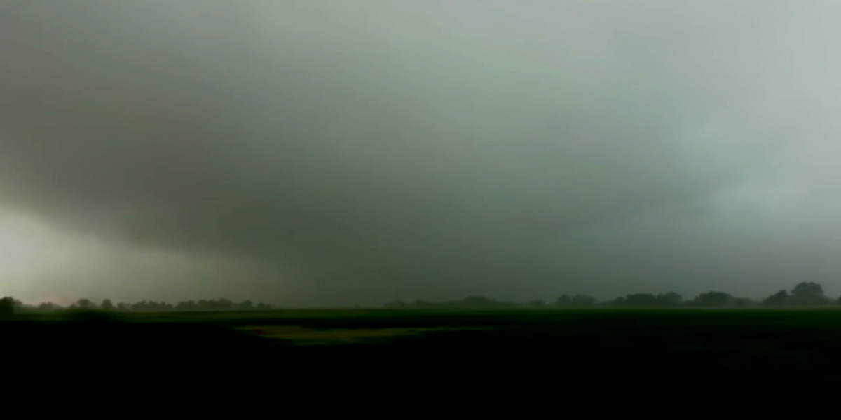
A stubborn stationary front parked over the southeastern United States is refusing to move, and metro Atlanta and North Georgia are paying the price with round after round of heavy downpours, flood threats, and waterlogged streets.
The good news? The end is in sight. But first, locals will need to get through one more unsettled night and a wet Saturday.
Flash Flood Threat Stays Active Overnight
The Weather Prediction Center has flagged areas along and west of the I-75 corridor as the highest-risk zone overnight.
Energy rolling in from Alabama could fire up heavy clusters of rain near midnight and 1:00 AM, creating quick high-water situations on roads that are already soaked.
Atmospheric moisture remains exceptionally high right now — meteorologists describe it like a sponge that is completely full of water. As long as that stationary front stays parked over the Southeast, it keeps squeezing, and rain keeps popping up in waves.
Hour-by-Hour Saturday Breakdown
Here is what to expect before Sunday’s clear skies arrive:
Overnight Tonight: Heavy rain clusters drift east, with a new round firing up near midnight along the back edge of the system.
Saturday Morning (8 AM): Showers pulse mainly north of I-20. Some neighborhoods will catch a brief break.
Saturday Midday and Afternoon: Storm flare-ups build on the south side of the metro, turning spotty on both sides of I-20 by 6:00 PM.
Saturday Night: Rain tapers off as the front finally starts sliding east.
Sunday Morning: Clearing speeds up from the northwest. Rain chances drop off almost entirely to start the day.
Why Saturday Afternoon Could Still Catch You Off Guard
Atlanta’s soil has absorbed a week’s worth of rain. There is nowhere left for the water to go.
That means even a moderate downpour Saturday afternoon can send water rushing across roads and into low-lying driveways faster than usual. The FOX 5 Storm Team is keeping a 40% rain chance through overnight hours, with temperatures settling into the upper 60s.
Saturated root systems also mean trees need far less wind than normal to drop heavy limbs on power lines. Secure patio furniture and give yourself extra time on the roads, especially near areas that flood easily.
Atlanta-Hartsfield-Jackson Airport already picked up 0.60 inches early Friday, with more accumulating through evening downpours inside the perimeter.
Your Full Weekend Forecast
Metro Atlanta
Saturday: High 81° — Showers and storms likely (80% chance)
Saturday Night: Low 65° — Rain tapering late (80%)
Sunday: High 75° — Mostly cloudy, slight shower chance (40%)
Monday: High 83° — Mostly sunny, isolated afternoon storm (20%)
Tuesday–Wednesday: Highs in the low 80s — Sunny and clear
North Georgia — Blairsville
Saturday: High 76° — On-and-off showers and storms (90%)
Saturday Night: Low 58° — Clearing overnight (30%)
Sunday: High 71° — Cooler with a stray mountain shower (20%)
Tuesday–Wednesday: Highs near 77° — Sunny and clear
Sunday Is the Reset Button
Once that stationary front finally slides out Saturday night, a drier and noticeably cooler air mass moves in behind it.
Sunday temperatures will struggle to climb out of the 70s — which, after a steamy and soggy week, will actually feel like a relief. Skies clear, humidity drops, and the first day of June sets up to look and feel completely different from what Atlanta has endured all week.
Hold tight. The sponge is almost empty.
Are you dealing with flooding or storm damage in your neighborhood this weekend? Share what you are seeing in the comments — your update could help a neighbor stay safe.