Residents across Illinois, Indiana, and Michigan may want to rethink their Thursday plans — because the federal government’s top storm agency just issued one of its most serious pre-storm warnings of the season, and it has your ZIP code in its crosshairs.
The Storm Prediction Center (SPC) has officially upgraded Thursday, June 11 to a 30 Percent Enhanced Risk for severe weather across a corridor stretching from Chicago through Indianapolis and into Grand Rapids. The upgrade, issued on June 8, is valid from Thursday morning through early Friday — meaning the danger window covers most of the day and into the night.
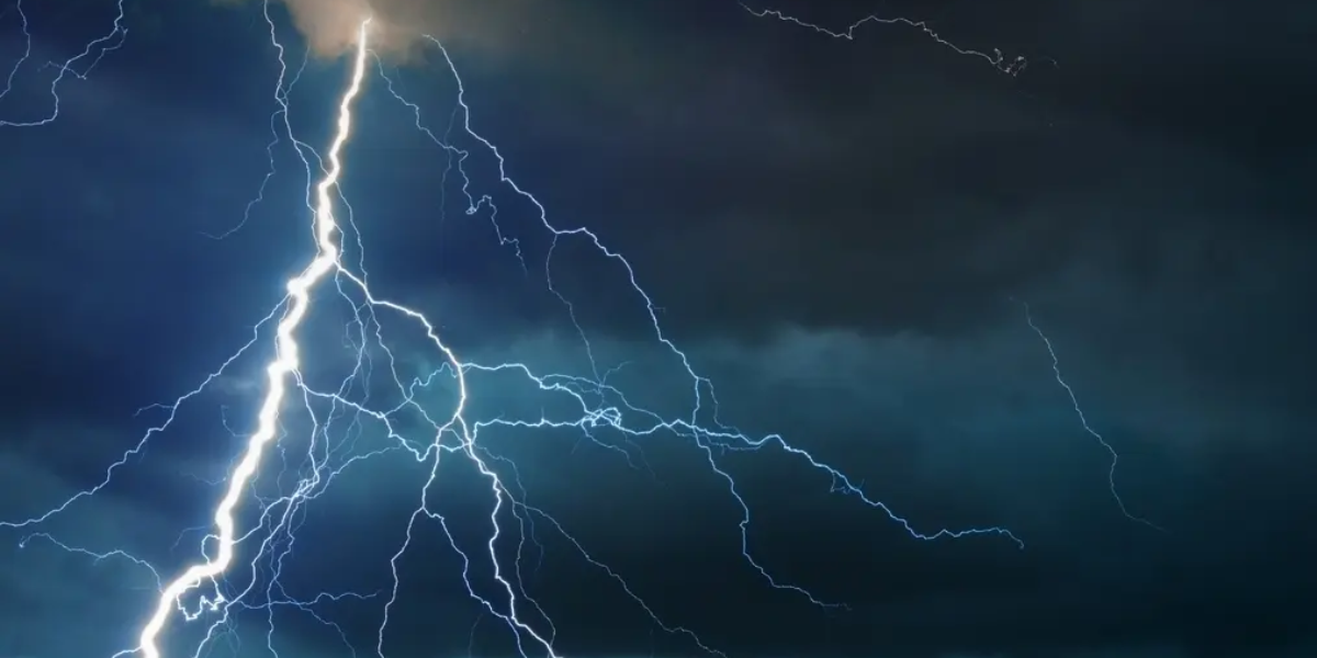
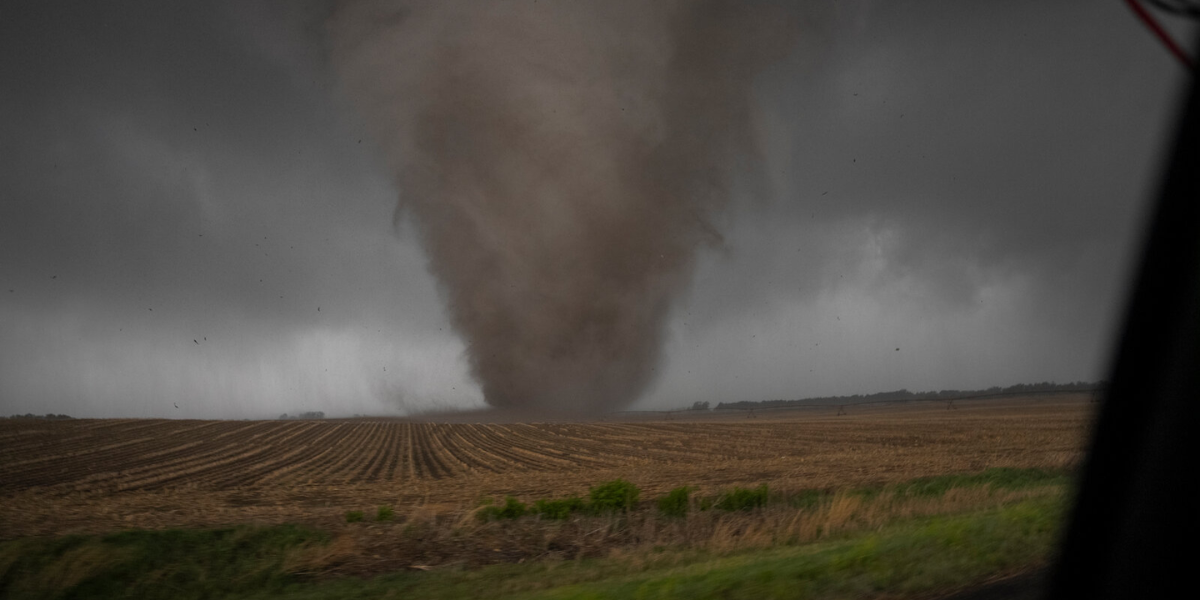
This is not a routine thunderstorm warning. The SPC is specifically calling out significant damaging winds and tornadoes as the primary threats — language forecasters reserve for setups with genuine destructive potential. When federal meteorologists use the word “significant” at four days out, it means the confidence in a dangerous event is already high.
Primary Threats — Thursday June 11
Tornadoes — Multiple touchdowns possible across the core zone
Damaging Winds — Significant gusts capable of downing trees and power lines
Highest Risk Cities: Chicago · Springfield · Indianapolis · Fort Wayne · Grand Rapids
The 30 percent zone — shown in brown on official SPC maps — sits at the center of a much larger danger area. A broader 15 percent severe probability zone surrounds it, pulling Wisconsin, Missouri, Kentucky, and Tennessee into the threat window as well. Millions of residents outside the core zone are being urged not to dismiss the risk simply because they fall outside the darkest shading on the map.
Forecaster Mead, who signed the Day 4 outlook, highlighted the concentrated nature of this setup as unusual for a forecast issued this far in advance. A 30 percent Enhanced Risk at the Day 4 range signals that forecasters are not waiting to raise concern — the setup is already well-defined and dangerous.
What You Should Do Before Thursday
Charge all devices — power outages are likely during damaging wind events
Know your shelter location — lowest floor, interior room, away from windows
Download a weather alert app — NWS alerts, Weather Channel, or MyRadar
Keep gas in your car — in case evacuation or post-storm travel is needed
Check on elderly neighbors — they may not have access to real-time alerts
What Happens Next: The SPC will issue updated outlooks Wednesday as the storm system comes into sharper focus. Thursday’s Day 1 outlook — released the morning of June 11 — will give the clearest picture of exact tornado and wind corridors. That is the forecast to watch. If the risk is upgraded further, it could reach Moderate or even High Risk territory by Thursday morning.
Thursday, June 11 is shaping up to be one of the more dangerous weather days the Midwest has seen this season. The warning is already on the table — what you do between now and then is the only variable left.