DALLAS, Texas — The ground across North Texas has nowhere left to put the water.
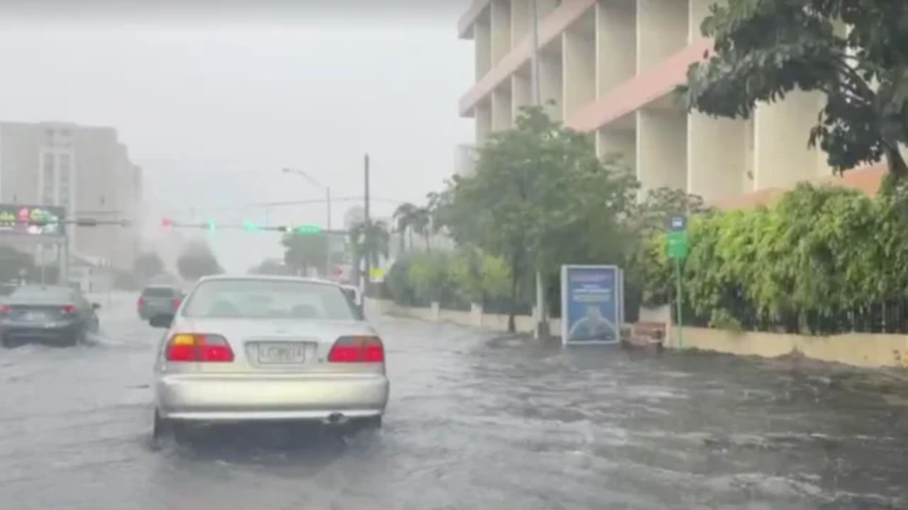
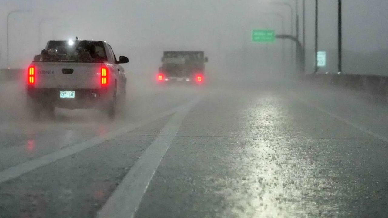
After DFW Airport recorded 1.04 inches of rainfall on Saturday and heavy rain continued overnight, soils are fully saturated. Low-lying areas across the region are already seeing flooding — and the weekend is not over yet.
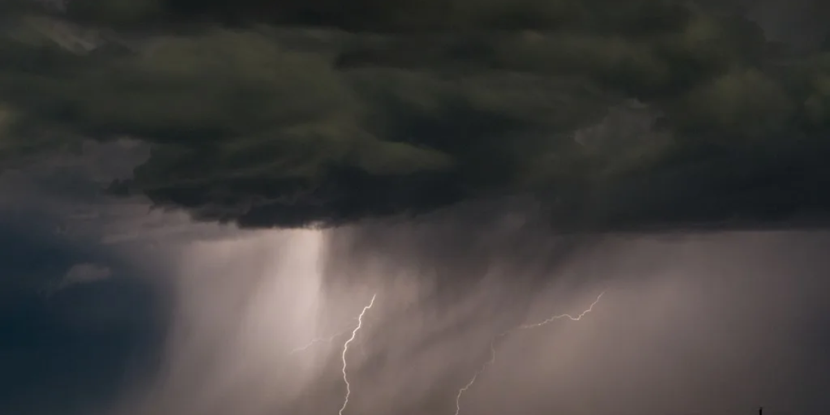
More heavy rain is on the way Sunday, and this time it is focused east of the I-35 corridor.
Sunday: Flooding Risk Remains High
If you live east of I-35, Sunday is the day to stay alert.
Additional rounds of heavy rain are expected throughout the day. With the ground already maxed out on moisture, even moderate rainfall could push water into streets, yards, and low-lying neighborhoods quickly.
Conditions will be cloudy, with south winds gusting up to 25 mph.
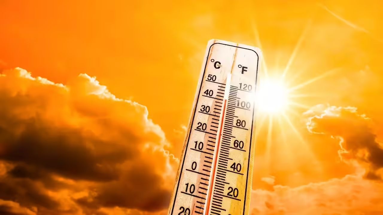
Temperatures will climb into the low 90s — but do not let that number fool you. The heat index, or feels-like temperature, will push into the upper 90s by the afternoon.
Stay hydrated. Drink water consistently, even if you do not feel thirsty.
Monday: One More Storm Chance, Then a Clear Evening
Monday brings one more opportunity for afternoon storms before things begin to settle.
By evening, conditions are expected to clear out. Skies turn mostly sunny, and temperatures stay in the low 90s — more manageable, but still warm.
If you have outdoor plans Monday, aim for the morning or evening and keep an eye on radar through the afternoon hours.
Midweek: The Heat Builds Fast
Once the rain exits, a high-pressure system moves in — and it brings serious heat with it.
By midweek, highs are expected to climb into the mid-to-upper 90s across North Texas. Heat index values will hover around 100 degrees, making it feel like triple digits even in the shade.
South winds will be breezy, which may offer brief relief but will also keep humidity elevated.
This is the kind of heat that sneaks up on you. Check on elderly neighbors and family members. Limit time outdoors during peak afternoon hours, typically between noon and 6 p.m.
Next Rain Chance: Thursday or Friday
After the midweek heat peak, a front could bring rain back to the area by Thursday or Friday.
Forecasters are still working out the timing and how much precipitation it will bring. Keep checking local forecasts as the week progresses for updates.
For now, the priority is Sunday — staying safe, staying off flooded roads, and staying cool as temperatures and humidity climb.
Have you seen flooding in your neighborhood this weekend? Share what it looks like in your area in the comments below — your update could help a neighbor nearby.