If you’ve been waiting for a perfect day to step outside, today is it — and it may be your last chance for a while. Tuesday is shaping up to be the best day in the Philadelphia region for the entire week, with sunshine, a comfortable high of 83°F, and humidity levels that actually feel like summer should.
Meteorologists are urging residents to make the most of it. Eat lunch outside. Let the kids play. Mow the yard. Take that bike ride you’ve been putting off. Because starting Wednesday, everything changes — and fast.
What’s Coming
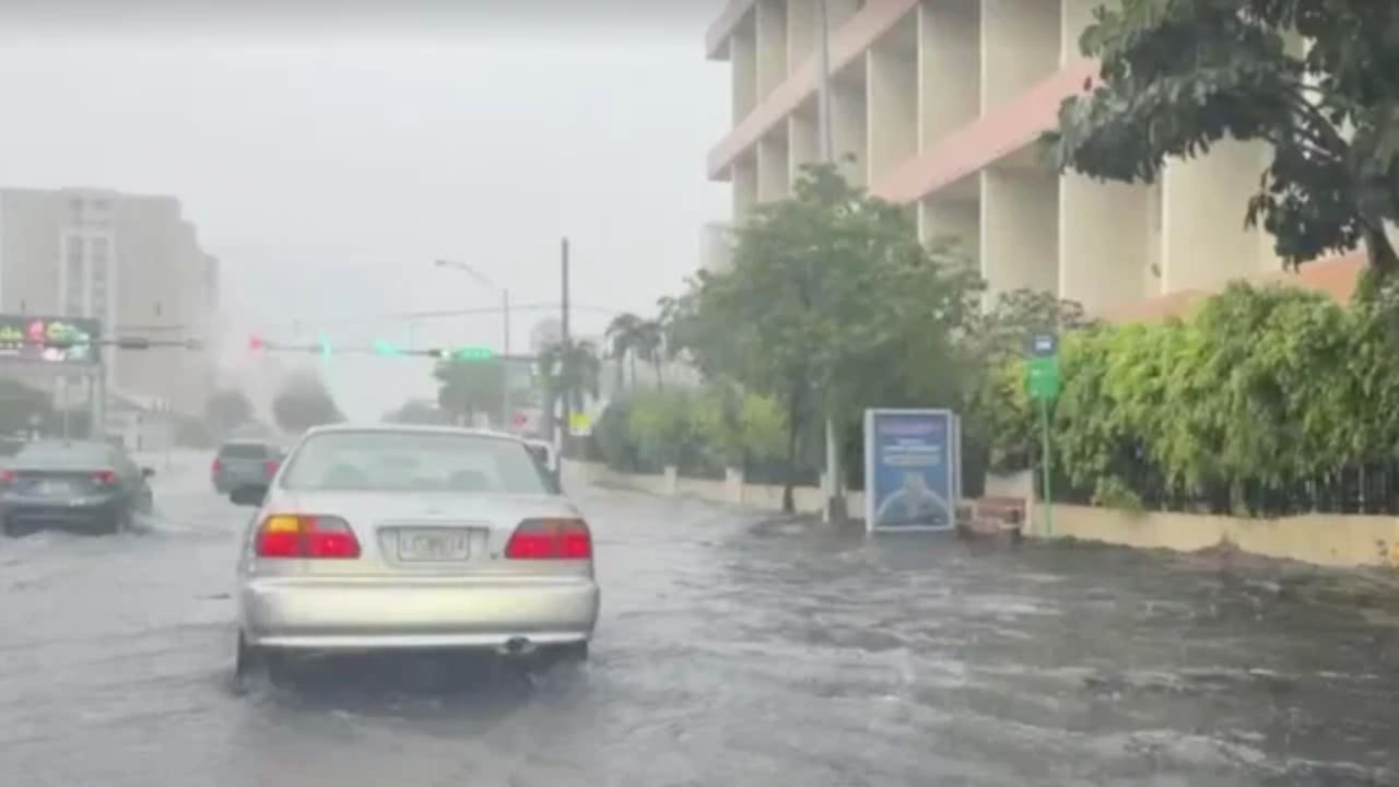
Wednesday brings the first warning sign — humidity levels will surge dramatically as a warm front pushes through, dragging showers and rumbles of thunder along with it. The high hits 87°F, but it won’t feel like it.
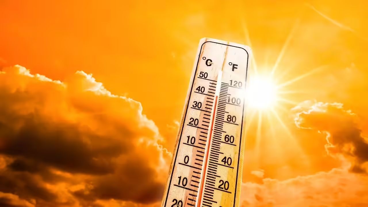
Then comes the real danger. Thursday and Friday are now under an official Weather Alert. Temperatures will climb into the mid-90s, but with oppressive humidity baking in, the feels-like temperature could reach 100°F or higher during peak afternoon hours. Health officials warn that conditions like these can turn dangerous quickly — especially for children, the elderly, and anyone working outdoors.
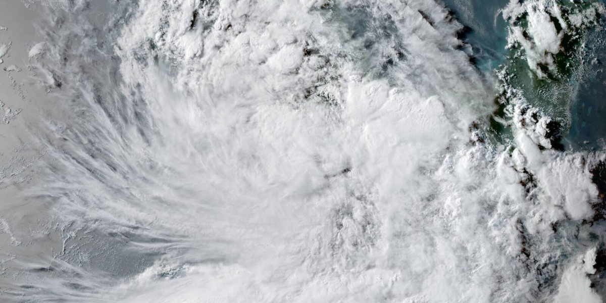
Strong storms are also possible Thursday and Friday as the heat builds. Forecasters are watching closely and say some of those storms could pack a serious punch.
Here’s your 7-day forecast:
Tuesday: Mostly sunny. High 83, low 53.
Wednesday: Turning hot. High 87, low 66.
Thursday: Weather Alert. High 94, low 72.
Friday: Weather Alert. High 96, low 74.
Saturday: Hot. High 92, low 72.
Sunday: Isolated thunderstorm. High 90, low 70.
Monday: Scattered storms. High 87, low 71.
One bright spot to look forward to: Summer officially begins Sunday, June 21 at 4:24 a.m. — which also happens to be Father’s Day. That means the longest day of the year belongs to Dad. Whether the storms cooperate is another story.
Step outside today, Philadelphia. By Thursday, you’ll wish you had. Copy Article