If you live anywhere between Oklahoma and Ohio, you need to stop what you’re doing and pay attention. A massive severe weather outbreak is tearing through the heart of America — and meteorologists say the worst is still ahead.
The danger zone covers more than 750,000 square miles and threatens cities home to over 220 million people, including Chicago, Milwaukee, Detroit, St. Louis, Kansas City, and by Thursday, major East Coast metros like New York City, Philadelphia, and Washington D.C.
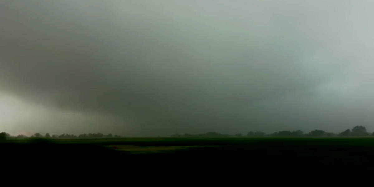
WHAT’S COMING: Wind gusts up to 100 mph · Softball-sized hail · Multiple tornadoes expected · Flash flooding in urban areas · Widespread power outages
AccuWeather Meteorologist Brandon Buckingham put it bluntly: “All of the ingredients required for severe thunderstorms will be in place across the Plains and Midwest for a severe weather outbreak through Thursday.” He warned that dozens of tornado reports are expected, alongside hail the size of softballs and wind gusts capable of approaching 100 miles per hour.
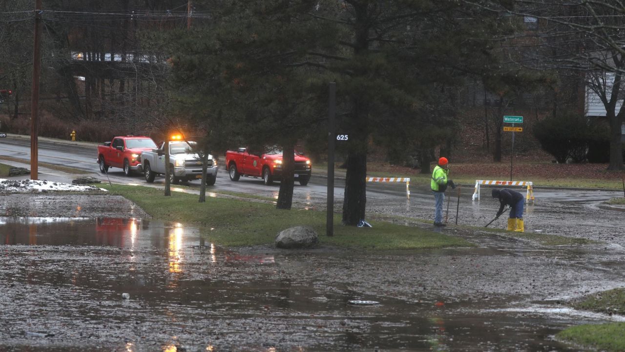
This isn’t the first punch of the week. Monday’s storms across the central and northern Plains already produced more than 200 reports of high wind gusts and a handful of tornadoes. What’s coming Wednesday night and Thursday is expected to be worse — and it’s heading directly for the most densely populated parts of the Midwest.
CHICAGO AND MILWAUKEE IN THE CROSSHAIRS
The Chicago and Milwaukee metro areas sit inside both the moderate and high-risk zones — a rare and alarming overlap. The high-risk zone includes Rockford and the Quad Cities in Illinois, Madison, Wisconsin, and stretches deep into Chicago and Milwaukee suburbs.
“Thursday has the potential to be another very active day, including for some areas that will have already been hit Wednesday and Wednesday night,” warned AccuWeather Senior Meteorologist Bill Deger. Tornadoes could strike in heavily populated neighborhoods — not open farmland.
CHAOS AT AIRPORTS, ON HIGHWAYS, AND AT HOME
Power outages may last for days in the hardest-hit neighborhoods. Flights across the region face serious delays. The worst window: 3 p.m. to 9 p.m. Thursday — right in the middle of rush hour.
THE EAST COAST IS NEXT
By Thursday and Friday, the severe weather machine shifts eastward. New York City, Philadelphia, Baltimore, and Washington D.C. are all in line for damaging wind gusts, heavy rain, and hail.
WHAT YOU NEED TO DO RIGHT NOW
If you’re in any of these cities, do not wait until the storm is outside your window. Charge your devices. Fill your car with gas. Move your car away from trees. Know where your nearest shelter is.
220 million people are in the storm’s path — and Thursday, it’s coming for the biggest cities on the list.