KANSAS CITY, Kansas — A massive severe weather outbreak is taking aim at the Plains this weekend, and millions of residents from Texas to the Dakotas need to be paying close attention.
Severe thunderstorms that hammered the Pacific Northwest on Thursday have now shifted east — and they are not done yet.
The storm system will push through the Plains on Saturday and into Sunday, bringing damaging hail, powerful wind gusts and the threat of brief tornadoes to a wide swath of the country.
A 1,300-Mile Danger Zone Is Taking Shape
Saturday’s severe weather threat stretches roughly 1,300 miles — from the Big Bend region of southern Texas all the way north into the Dakotas and central Montana.
That is not a small target area. This system is large and it is moving fast.
The most dangerous conditions will be concentrated in parts of Kansas, Nebraska, South Dakota, far northeastern Wyoming and far southeastern Montana.
If you live in any of these areas, this is not a storm system to ignore.
Damaging Hail and Violent Winds Are the Main Threats
The two biggest dangers heading into Saturday are large, damaging hail and powerful wind gusts capable of downing trees and power lines.
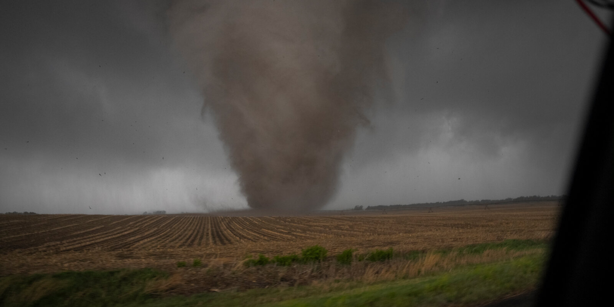
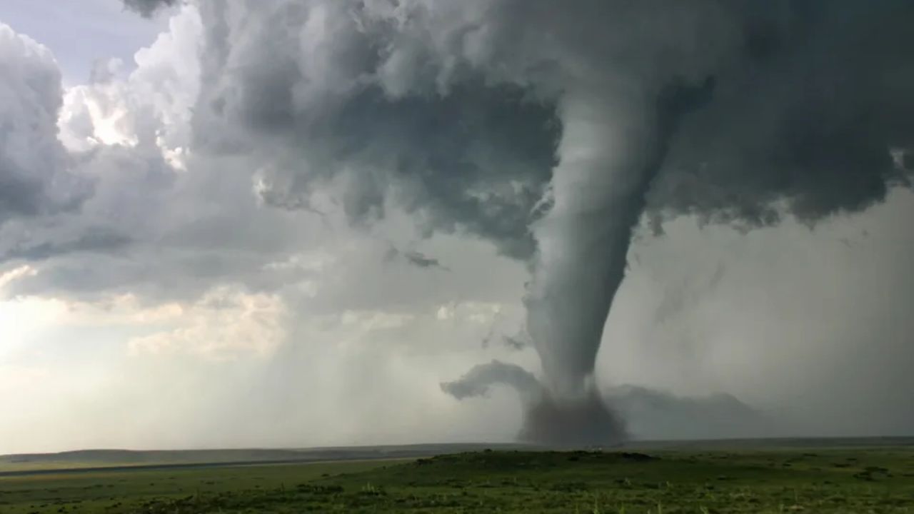
Forecasters also warn that a couple of the strongest individual storms scattered across the Plains could spin up a brief tornado.
On Sunday, the severe weather threat shifts toward the northern Plains. The danger zone will extend from central Montana down to north-central Nebraska through the afternoon and evening.
Storms on Sunday will be capable of producing hail, heavy downpours and localized damaging wind gusts. The AccuWeather Local StormMax wind gust for Sunday’s storms is 75 mph.
That is highway speed — and it can cause serious structural damage when it hits.
Wildfires Are Also a Concern
Beyond wind and hail, forecasters warn that lightning strikes from the strongest storms could ignite sporadic wildfires across parts of the region.
Drought conditions that developed earlier this winter have left vegetation dry and vulnerable across the High Plains and northern Rockies.
The good news is that rainfall from some of these same storms may temporarily bring down the wildfire risk in the areas that receive meaningful precipitation. Some of the precipitation will fall as snow at higher elevations in parts of Montana and Alberta.
Flash Flooding Risk Near the Gulf Coast
The storm threat does not stop at the Plains.
A few storms near the Gulf Coast could briefly turn severe this weekend, though the bigger concern in that area is heavy rainfall and localized flash flooding.
A particularly heavy band of rain is expected from southeastern Nebraska to northern Arkansas from Sunday night into Monday. Residents in low-lying areas and near creeks or streams should monitor local alerts closely.
What You Should Do Right Now
If you live anywhere in the threat zone, this weekend is the time to take a few simple steps.
Charge your phone and keep it with you. Download a weather alert app if you do not already have one. Know where your safe shelter spot is before the storms arrive — interior room, lowest floor, away from windows.
Do not wait for the sky to turn dark before you act. Severe storms can move quickly and conditions can change in minutes.
Are you in the path of this weekend’s storms? Tell us where you are and what it looks like outside — drop it in the comments and help your neighbors stay informed.