Chicago isn’t getting one storm this week. It’s getting several — and each one has the potential to be dangerous in a different way. From flooding rains and damaging hail to the very real threat of tornadoes, the Chicago area is entering a stretch of weather that forecasters are watching extremely closely.
The trouble starts Tuesday. Scattered showers and thunderstorms are expected to carry over from Monday evening through Tuesday morning, with temperatures climbing into the upper 80s by afternoon. The Storm Prediction Center has placed the entire Chicago area under a “marginal” risk of severe weather from Tuesday through the early hours of Wednesday. The primary danger: heavy rain capable of causing localized flooding, along with a chance of hail up to an inch in diameter.
Wednesday brings a brief break — but don’t get too comfortable. Dry conditions are expected through most of the day, but temperatures will surge into the low-to-mid 90s, and with dewpoints creeping toward 70 degrees, heat indices could approach 100°F by Wednesday afternoon. That level of heat and humidity is dangerous, especially for children, the elderly, and anyone spending extended time outdoors.
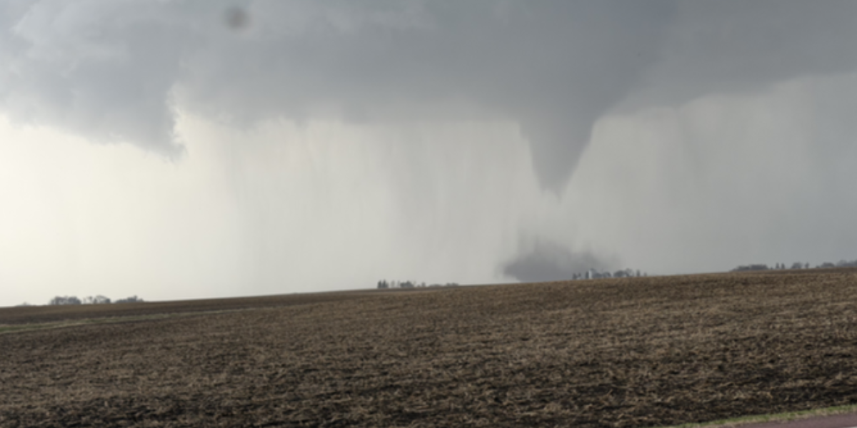
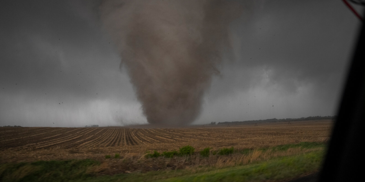
Wednesday evening is when things escalate. A fresh round of thunderstorms is set to develop, and the Storm Prediction Center has raised the risk level to “slight” for most of the area — one step above Tuesday’s threat. Parts of McHenry and DeKalb counties face an even higher “enhanced” risk, with damaging winds, large hail, heavy rain, and a tornado possibility all on the table.
There is a non-zero risk of tornadoes Wednesday evening, according to the Storm Prediction Center.
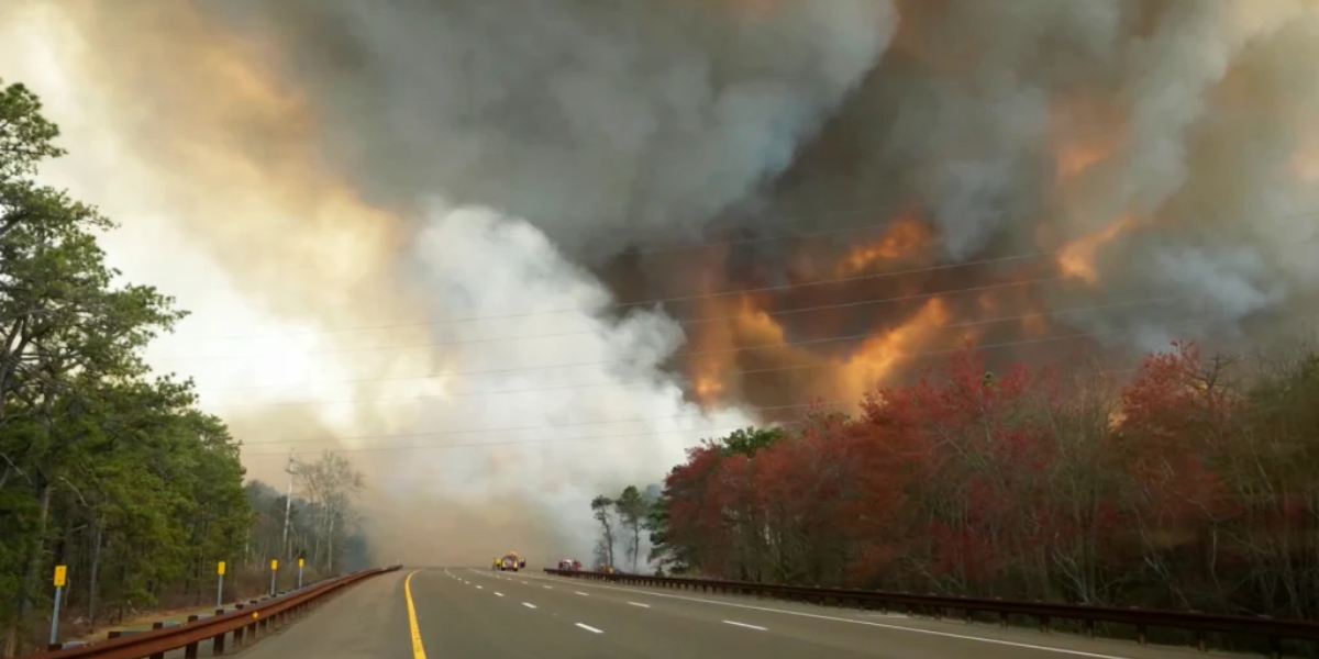
Thursday could be the most dangerous day of all. An approaching cold front is forecast to trigger the most widespread severe weather event of the week — impacting the entire Chicago metro area. Forecasters say gusty winds, large hail, heavy rain, and tornadoes are all possible. The exact intensity will depend heavily on storm timing, but officials are urging residents to have a plan in place before Thursday arrives.
The only silver lining: once that cold front clears, relief is on the way. Temperatures will fall back into the 80s by Friday and Saturday, and drop further into the 70s heading into next week.
What you should do right now: Charge your devices. Know your nearest shelter. Have an emergency kit ready with water, medication, and flashlights. If severe weather warnings are issued in your county this week — take them seriously. This is not a week to wait and see.
Chicago has weathered bad storms before. But forecasters say this week, the danger isn’t coming once — it’s coming in waves.