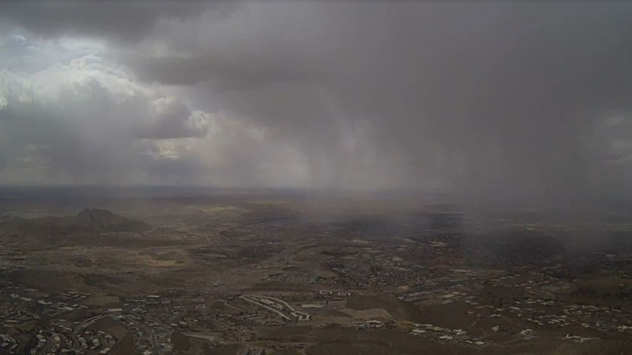

SEATTLE, WA — Residents across Washington, Idaho, and Montana are being urged to stay alert as a rare and dangerous weather pattern tightens its grip on the Pacific Northwest Thursday evening — bringing with it damaging hail, destructive winds, and even a low-end tornado threat.
Meteorologists have confirmed that an Omega block weather pattern has anchored itself across the United States, trapping both coasts in stubborn and slow-moving weather systems. The pattern gets its name from the Greek letter Ω — formed when a large ridge of high pressure becomes sandwiched between two areas of low pressure, locking weather in place for days.
For the Pacific Northwest, that means trouble.
Parts of western Montana are currently under a Level 1 out of 5 severe storm threat, with an elevated chance of damaging hail and winds. Meanwhile, populated locations such as Boise, Idaho, are under a Special Weather Statement as conditions continue to develop.
What makes this event particularly alarming is just how unusual it is. This region historically sees very few severe storms in May — in fact, parts of the inland Northwest have not seen a severe thunderstorm watch issued in over three years.
Forecasters say an upper-level low moving over the West Coast is combining with warm, moist air to fuel the storm development. Damaging winds, large hail, and a marginal tornado threat are all possible as the storm line pushes into eastern Washington late Thursday evening.
Meteorologists are flagging this as an unusual close to May.
The Omega block pattern is expected to hold through the foreseeable future, with forecasters not anticipating a meaningful breakdown before early to mid-June.
Residents in Washington, Idaho, and Montana should monitor local alerts and have a safety plan ready.