EL PASO, Texas — If you stepped outside Friday, you felt it — gusty southwest winds hitting the east slopes hard, temperatures pushing 94 degrees. The good news? Saturday is shaping up to be one of the nicest days of the week.
But do not get too comfortable. A significant weather pattern change is coming, and El Paso residents need to be ready for it.
Saturday: A Beautiful Day Before the Change
Saturday will be sunny with a high of 93 and light winds throughout the day.
After Friday’s gusty afternoon, this is a welcome relief. Get outside, enjoy it — because the forecast shifts quickly after this.
Tonight, expect partly cloudy skies early in the evening turning clear overnight. Southwest winds of 10 to 35 mph will be gusty on the east slopes before calming down. The overnight low will drop to 67.
Sunday: Hot and Sunny, But Humidity Starts Climbing
Sunday stays sunny and hot with a high of 97.
It will still feel like a summer day, but pay attention to how the air feels by mid-afternoon. The moisture is already beginning to build behind the scenes — setting the stage for what comes next.
Monday: The Turning Point
Monday is the day everything changes.
The day starts clear, but clouds will build through the afternoon. By evening, widely scattered thunderstorms will develop across the area. South-southeast winds of 5 to 20 mph will push additional moisture into the region, and you will notice the humidity rising sharply by mid-afternoon.
Monday’s high will hit 99 degrees before the storms arrive.
If you have outdoor plans Monday evening, keep a close eye on the sky and have a backup plan ready.
Tuesday: Potentially Strong Storms — Take This Seriously
Tuesday is the day forecasters are watching most closely.
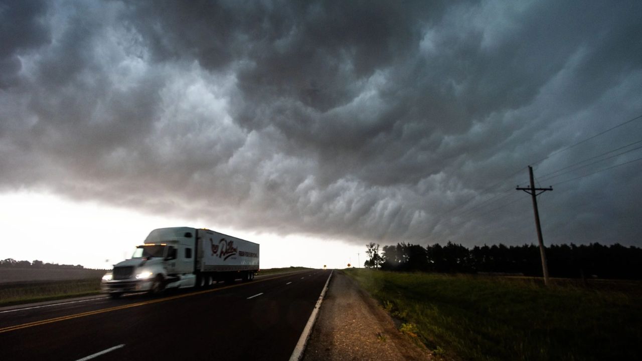
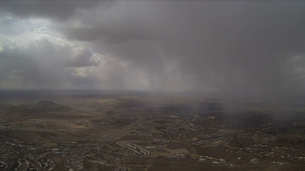
Partly cloudy skies will give way to widely scattered thunderstorms that could turn strong or severe. Some storms may produce very heavy rainfall and dangerous wind gusts.
Tuesday’s high will be 97, but the real concern is storm intensity — not heat.
If you have young children, elderly family members, or outdoor work scheduled for Tuesday, start making alternate plans now.
Wednesday Through Friday: Unsettled Pattern Continues
The stormy stretch does not end Tuesday.
Wednesday will be partly cloudy with widely scattered late-day thunderstorms and a high of 91. A slight cooldown, but the storm threat remains.
Thursday brings more of the same — partly cloudy with scattered late-day storms and a high of 92.
Friday closes out the week with partly cloudy skies, late-day thunderstorms, and a high of 97.
What You Should Do Before Monday
You have a Saturday window to prepare. Use it.
Check your yard for anything that could become a projectile in high winds. Make sure your vehicle is parked safely away from trees. Keep a weather app with alerts turned on throughout the week. And if you have outdoor events planned for Tuesday or Wednesday, consider rescheduling now rather than scrambling later.
El Paso does not see severe storm patterns like this every week — when one comes, it pays to be ready ahead of time.
Are you preparing for next week’s storms, or planning to stay indoors? Let us know in the comments — and share this with a neighbor who might not have seen the forecast yet.