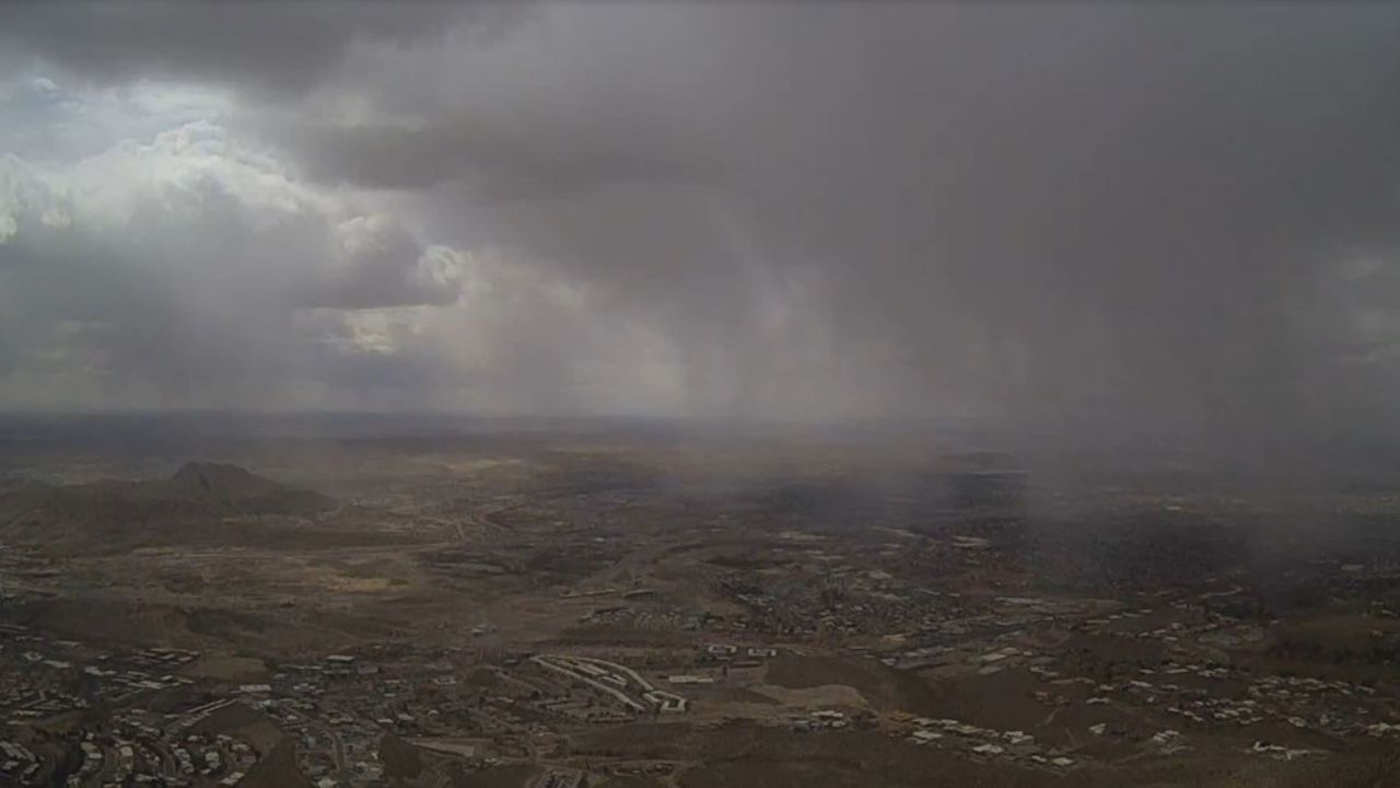
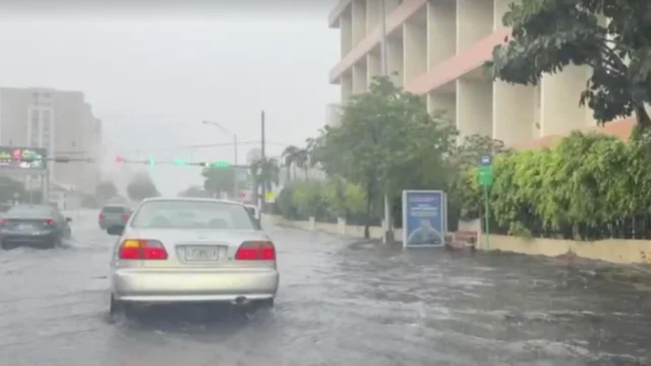
MIAMI, FL — Millions of South Florida residents are facing a multi-day stretch of dangerous weather as a powerful weather system locks in over the region, bringing heavy tropical rainfall and a growing flash flood threat to Miami, Fort Lauderdale, and surrounding communities.
The Storm Prediction Center has issued a Level 1 out of 4 flash flood threat for Miami, warning that localized flooding may begin as early as Thursday. Some areas could see 3 to 5 inches of rain — with isolated totals of 5 to 8 inches possible through next Thursday.
The setup is driven by a stalled cold front colliding with deep tropical moisture pulled in from both the Gulf of Mexico and the Atlantic Ocean — creating near-perfect conditions for repeated, heavy storm clusters to develop over several days.
While the rain is expected to bring some relief to a region battling historic drought, forecasters caution that the ground’s limited ability to absorb water quickly raises flood risks — especially in low-lying and coastal neighborhoods.
By Friday, rain and thunderstorms are forecast to spread statewide. The system is then expected to intensify Saturday as an upper-level low develops near the Southeast coast, pushing heavy rainfall into Georgia and the Carolinas. Charleston, SC could see 2 to 3 inches, with minor coastal flooding likely in low-lying areas.
Entering early June, high pressure from the north will gradually push the system out — but forecasters warn that additional rounds of heavy rain remain possible as tropical moisture lingers over the Gulf.
What to Watch
- Flash flood alerts active for Miami-Dade and Broward County
- Widespread 3–5 inches expected across the Florida Peninsula
- Isolated spots could see 5–8 inches total by next Thursday
- Georgia and Carolinas also in the storm path by Saturday