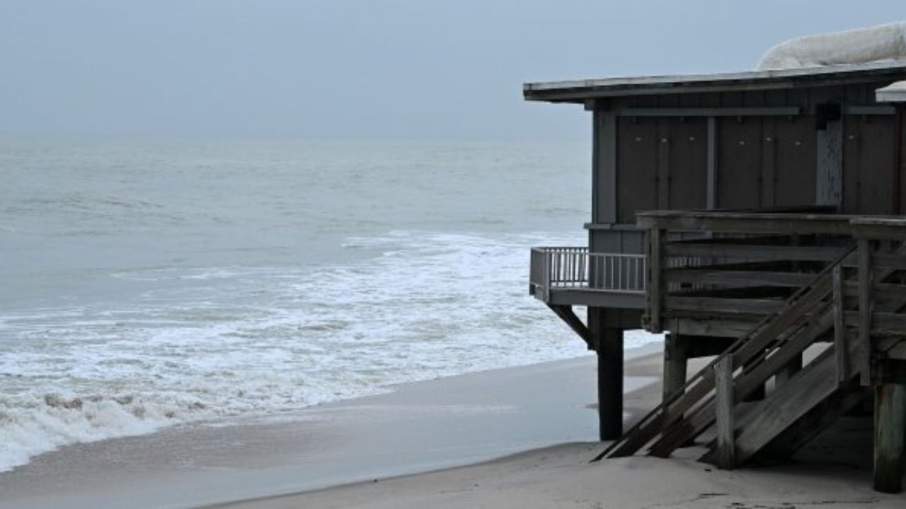
MIAMI, Florida — Meteorologists are keeping a close eye on the southwestern Atlantic and Gulf of Mexico as the Atlantic hurricane season officially opens June 1 — and some early signals are already raising flags.
AccuWeather experts say slow-moving weather systems are already sitting over the Gulf and northwestern Caribbean. That combination is exactly what forecasters watch for at the start of storm season.
“Whenever there are slow-moving fronts or stalled areas of low pressure in the Gulf, northwest Caribbean, and the southwest Atlantic, there is reason to be concerned that a tropical storm or two may try to brew when conditions are favorable,” said AccuWeather Chief On-Air Meteorologist Bernie Rayno.
What Is Slowing Things Down Right Now
Not everything points toward immediate storm formation.
Through the first week of June, strong wind shear — disruptive upper-level breezes that tear apart developing storms — is expected to limit tropical organization in the region.
“An inhibiting factor through the first week of June will be disruptive breezes in the region, known as wind shear,” said AccuWeather Lead Long-Range Meteorologist Paul Pastelok.
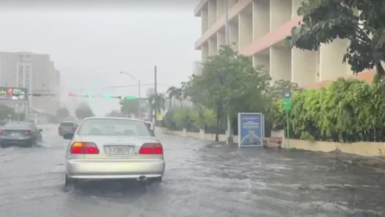
In the meantime, a wide band of clouds, showers, and thunderstorms is expected to stretch across the Gulf and into the southeastern and central United States. For drought-stricken communities in the South, that moisture could offer some limited relief.
The Two-Week Window Everyone Is Watching
Here is where things get more serious.
Around the second week of June, wind shear is forecast to weaken. At the same time, a powerful global weather pattern called the Madden-Julian Oscillation — or MJO — is expected to shift into the Gulf and Caribbean region.
The MJO is essentially a pulse of enhanced storm activity that travels around the globe from west to east. When it moves into a region, it can rapidly strengthen a developing disturbance — or even trigger the formation of multiple tropical cyclones at once.
“Tropical development chances remain low at this time, but the Gulf, western Caribbean, and southwestern Atlantic will need to be monitored during the first two weeks of June,” said AccuWeather Lead Hurricane Expert Alex DaSilva.
Where the Danger Could Land
If a tropical system does form, its exact location will determine who gets hit hardest.
A storm forming in the western Gulf could bring dangerous rain and wind into Louisiana and Texas. One developing farther east could push toward Florida instead.
It is also possible that no storm develops at all — and the current scattered showers across the South simply fade out.
But forecasters are not taking that chance. The next two weeks will be critical, and residents across the Gulf Coast should stay informed and ready.
Are you in a Gulf Coast or hurricane-prone area? Tell us how you prepare for storm season in the comments — your tips could help someone else stay safe.